Easy
Cascadas de Multnomah a Devil’s Rest (Multnomah Falls to Devil’s Rest)

Easy
Cascadas de Multnomah a Lazo Franklin Ridge (Multnomah Falls to Franklin Ridge Loop)


Easy
Cascades de Multnomah a Larch Mountain por Oneonta (Multnomah Falls to Larch Mountain via Oneonta Trail)


Easy
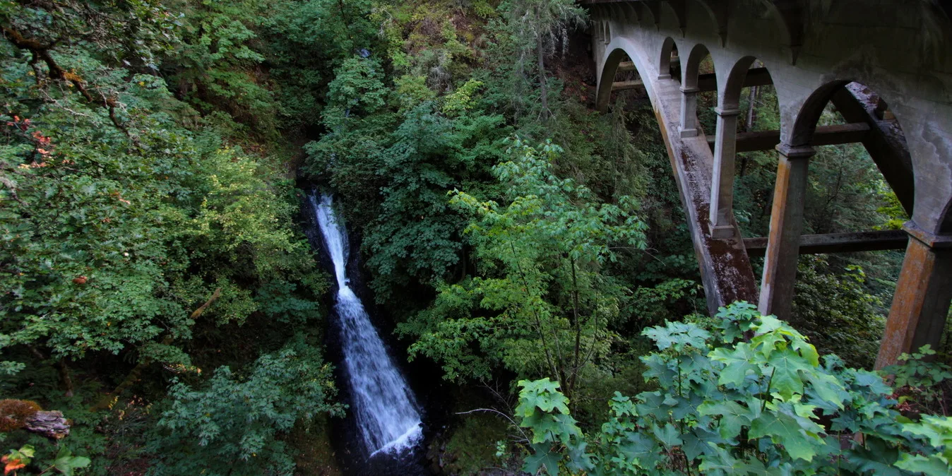
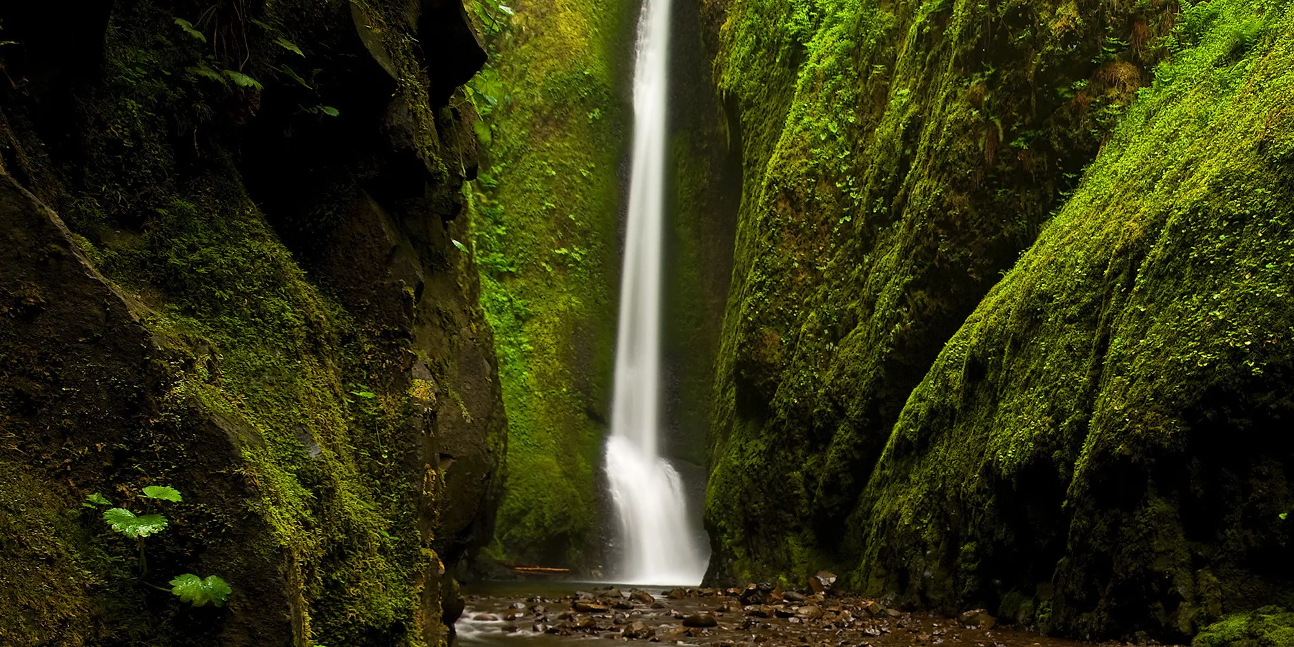
Cola de Caballo, Cola de Caballo y Triple Cascada (Horsetail, Ponytail, and Triple Falls)


Easy
Lazo de Acceso Universal de Catherine Creek (Catherine Creek Universal Access Loop)


Easy
Parque Estatal del Río Deschutes – Sendero del Río (Deschutes River State Park, River Path)


Easy
Parque Estatal Histórico de Columbia Hills: Petroglifos del Lago Horsethief (Horsethief Lake Petroglyphs)


Easy
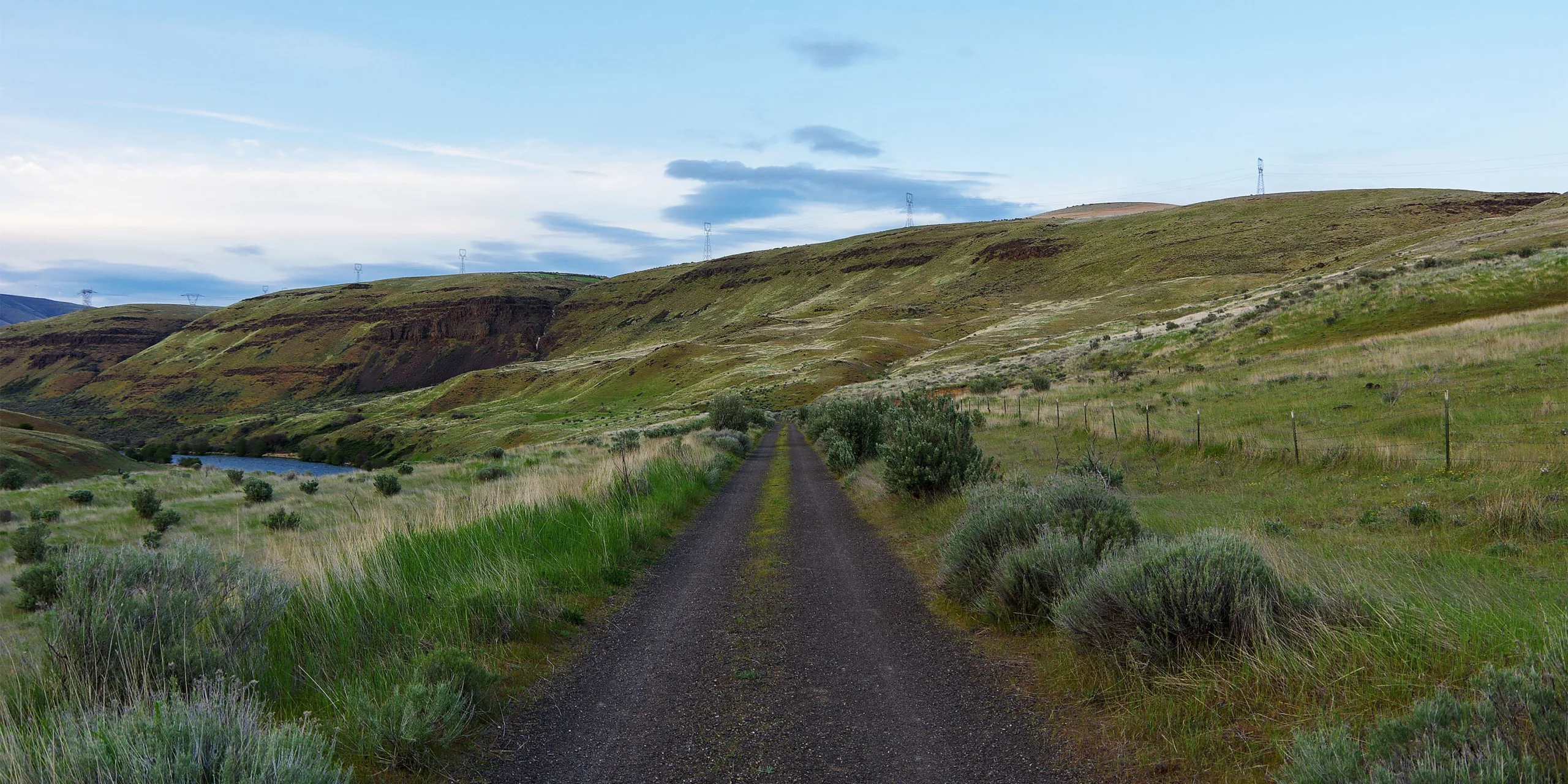
Sendero Klickitat – De Fisher Hill a Klickitat (Klickitat Trail Fisher Hill to Klickitat)

Easy
Sendero Klickitat – De Fisher Hill a Pitt (Klickitat Trail Fisher Hill to Pitt)
Easy
Sendero Klickitat – De Lyle a Fisher Hill (Klickitat Trail Lyle to Fisher Hill)